Connect this guide with the rest of your visit in the Tallinn trip planner. Read how the research is made and what its sources establish.
At a glance
Start here
- Use the cruise-terminal promenade for a compact elevated view of port and city edges.
- Use the Kalamaja–Seaplane Harbour–Noblessner stretch for maritime and industrial history.
- Use the eastern harbour and Pirita direction for a longer landscape-to-ruins connection.
- Confirm live access and split the coast into segments instead of assuming a seamless waterfront trail.
01
Choose what you want the coast to explain
The northwestern waterfront concentrates public port space, the Seaplane Harbour, and Noblessner's shipyard history. The central harbour shows how pedestrian links are being added around an active passenger port. To the east, Reidi Road and the Pirita direction open a longer recreational landscape with a medieval convent site beyond the immediate centre.
These are not substitutes. A short elevated promenade works for orientation; former industrial waterfronts reward architectural and maritime attention; Pirita asks for more time and weather tolerance. Pick the historical question and desired effort first. Then use current maps and operator notices to verify that the segment still connects as expected.
Sources: Port of Tallinn; Port of Tallinn; Estonian Maritime Museum; Noblessner; Visit Tallinn02
Start small on the cruise-terminal roof
Port of Tallinn describes an 850-metre public promenade running across the roof of the cruise terminal on the northwestern pier. The designed outdoor area includes seating, terraces, a playground, stairs, and an observation platform. Its interest comes from elevation: the harbour, arriving vessels, and the city edge can be read in one compact space.
Treat this as a port viewpoint, not a wild coastal walk. The terminal remains part of operational infrastructure, and the port notes that private events can affect use of the space. Check the current terminal information before relying on access. If the rooftop is unavailable, do not improvise through restricted port areas; choose another public segment.
Sources: Port of Tallinn03
Notice how the central harbour is being stitched together
Old City Harbour is both transport infrastructure and a redevelopment area. Port of Tallinn records several completed public links: the cruise promenade and Culture Kilometre connection, the Admiralty pedestrian bridge, Terminal D square, and the Reidi Road promenade. Together they show an effort to connect the harbour toward North Tallinn and Kadriorg rather than leaving terminals as isolated compounds.
Use this segment to study thresholds. Pedestrian squares, bridges, road crossings, fenced operations, and waterside paths may sit close together without feeling continuous. A development chronology confirms what has been built, but it cannot guarantee today's detour pattern. Follow current signs and regard a closed gate as a route change, not an invitation to find a shortcut.
Sources: Port of Tallinn04
Let the Seaplane Harbour anchor the northern stretch
The Estonian Maritime Museum places the Seaplane Harbour between the Patarei side and Noblessner. Its visitor information identifies museum ships and an outdoor playground by the hangars, making the site a clear turning point even when the museum interior is not part of the plan. The route reaches it from the Kalaranna waterfront side.
Pause to distinguish the harbour's historic structure from the new residential and leisure edges around it. The museum's accessibility page is designed for building entry, yet it also makes clear that routes through vessels and levels have specific limitations. If the walk includes an indoor visit, check those details separately rather than assuming waterfront accessibility describes the exhibits.
Sources: Estonian Maritime Museum05
Read Noblessner as a shipyard under reuse
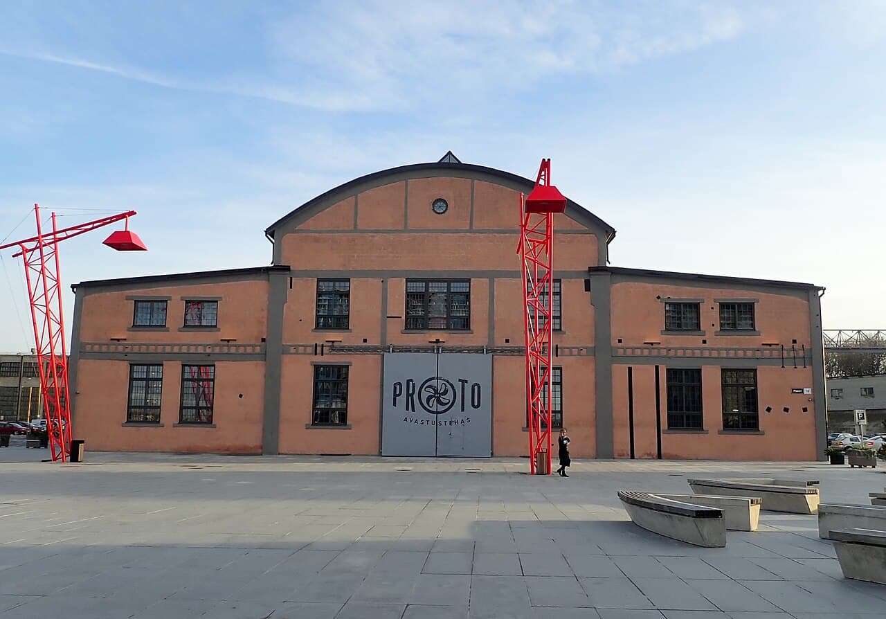
Noblessner's own historical account dates the submarine shipyard to 1912. Twelve submarines were constructed there between 1913 and 1917, and shipbuilding and repairs continued in the area until August 2018. The waterfront's present public-facing spaces therefore sit inside a much longer production landscape.
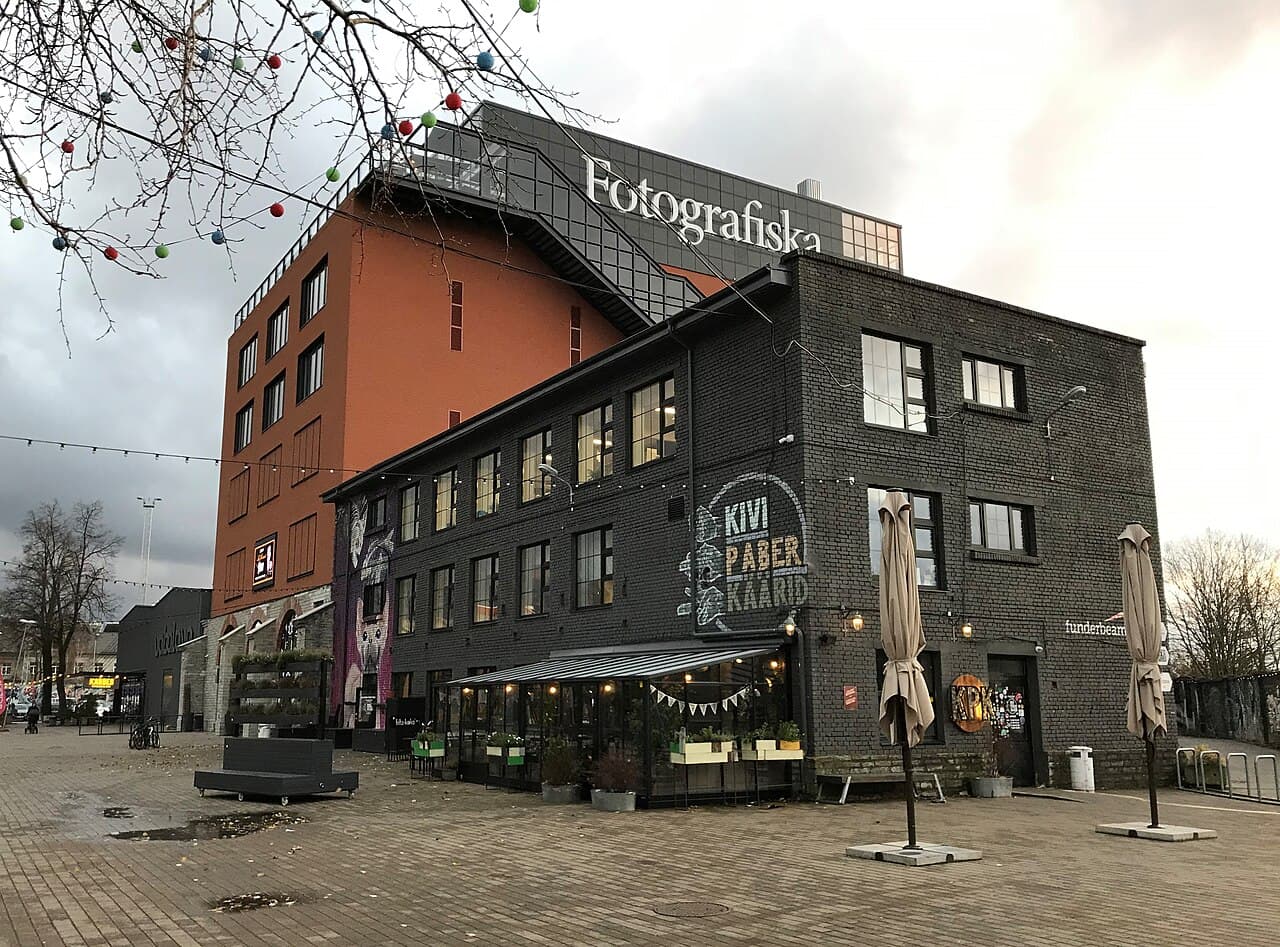
Look for industrial scale, not a perfectly preserved factory scene. Large halls, the relationship to the water, and the spaces between reused structures reveal what shipbuilding demanded. Because the district is privately redeveloped and still changing, use its current map for passage through the site and treat commercial listings as mutable rather than historical evidence.
Sources: Noblessner06
Take the eastern direction for a longer historical contrast
Port of Tallinn's development record describes Reidi Road as a 1.93-kilometre connection completed in 2019 with a beach promenade, cycle path, greenery, and leisure spaces. It extends the pedestrian logic eastward from the harbour. Farther toward Pirita, the ruins of St Bridget's Convent provide a historical destination beyond the central port landscape.
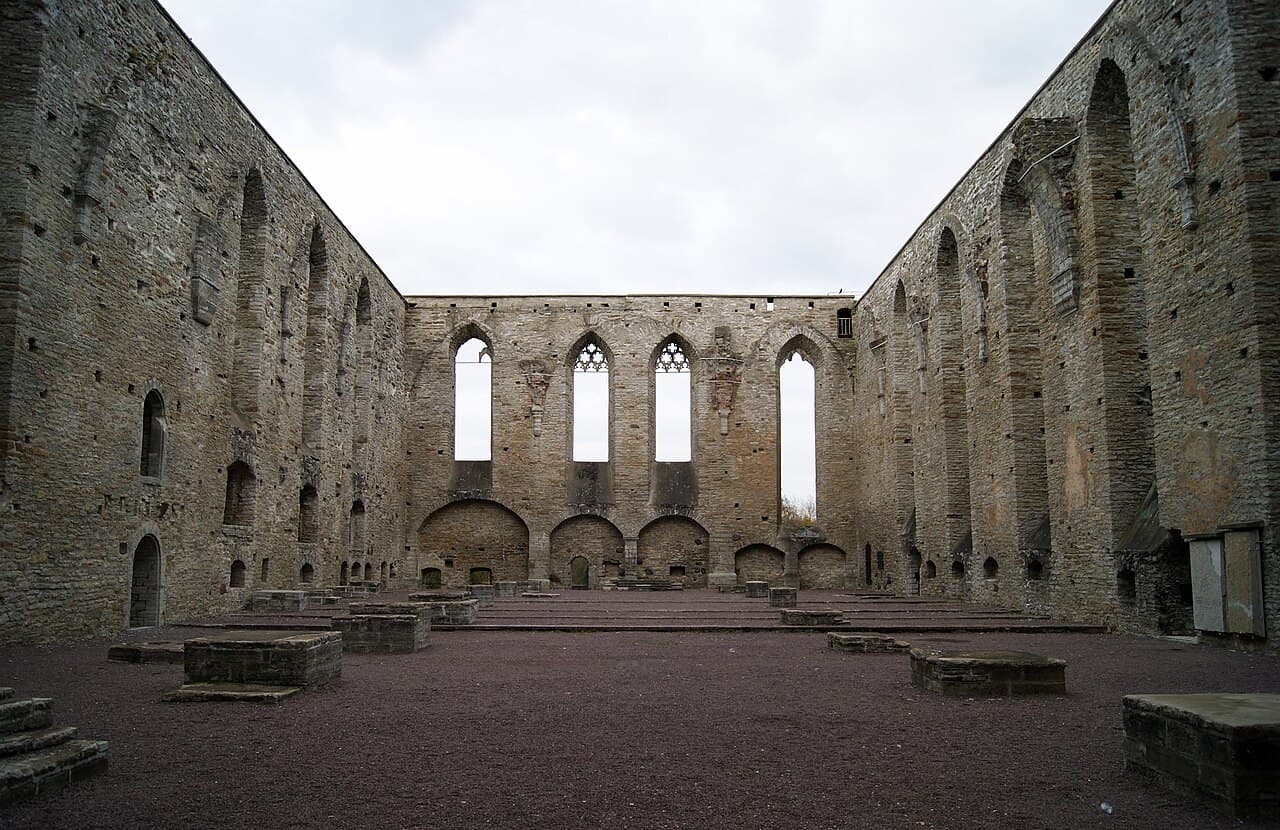
The convent was founded in 1407 and destroyed during the Livonian War in 1577. Its surviving façade, walls, cellars, and graveyard make it a substantial ruin rather than a decorative endpoint. The official city destination page contains current visitor details, but verify them before planning entry; the exterior historical relationship remains meaningful if operating arrangements change.
Sources: Port of Tallinn; Visit Tallinn07
Keep the route honest by walking in segments
A useful waterfront plan names a start, a turning point, and an exit. For a compact walk, use the cruise-terminal public space if current access is confirmed. For industrial and maritime context, make the Seaplane Harbour or Noblessner the anchor. For the eastern coast, decide whether the convent ruins are the destination or merely one possibility beyond the promenade.
Wind and exposed distance can make a map underestimate effort. Carry no assumption that a café, toilet, gate, or indoor refuge will be open because an old article mentioned it. Recheck the relevant operator or institution, keep a landward alternative, and stop where the chosen stretch has already answered the question that brought you there.
Sources: Port of Tallinn; Estonian Maritime Museum; Noblessner; Visit TallinnUseful answers
Reader questions
Is Tallinn's waterfront one continuous walking route?
It is safer to plan it as linked segments. Public promenades, active port operations, redevelopment areas, roads, and museum grounds meet along the shoreline, and live detours can change the connection. Choose a defined stretch and verify its access instead of relying on a single continuous-line assumption.
Sources: Port of Tallinn; Port of Tallinn; Estonian Maritime MuseumWhich stretch is best for industrial history?
The northern stretch around the Seaplane Harbour and Noblessner provides the clearest industrial and maritime reading. The museum occupies historic hangars, while Noblessner's documented shipyard history begins in 1912 and includes submarine construction and later ship repair. Present-day reuse is part of that story.
Sources: Estonian Maritime Museum; NoblessnerCan I count on the cruise-terminal rooftop promenade being available?
Do not count on it without checking. Port of Tallinn describes the rooftop promenade as public space but also states that private events may affect it. Port operations and temporary arrangements can change access, so consult the terminal's live information and keep another public waterfront segment ready.
Sources: Port of TallinnWhy connect Pirita's convent ruins with a seafront day?
They add a medieval institutional landscape to a route otherwise dominated by modern port and recreation infrastructure. The Bridgettine convent was founded in 1407, destroyed in 1577, and survives through major architectural remains. Treat it as a separate destination near the eastern coastal corridor, not as a shoreline object.
Sources: Visit Tallinn; Port of TallinnRead the evidence
Sources and further reading
These sources support the relevant sections above. Plans and comparisons are editorial suggestions. Check operators for current arrangements.
- Cruise Terminal Outdoor Areas ↗Port of Tallinn · Research date 14 September 2026
The rooftop promenade's length, designed features, public-space role, and event-related access caveat.
- Old City Harbour Development ↗Port of Tallinn · Research date 14 September 2026
Completed pedestrian links, squares, bridge, Reidi Road chronology, and planned harbour connections.
- Accessibility ↗Estonian Maritime Museum · Research date 14 September 2026
The Seaplane Harbour's location between neighbouring waterfront areas, outdoor features, and visitor-route limitations.
- About Noblessner ↗Noblessner · Research date 14 September 2026
The shipyard's 1912 origin, submarine production, repair history, and redevelopment context.
- Ruins of Bridgettine Convent ↗Visit Tallinn · Research date 14 September 2026
The convent's foundation, destruction, surviving ruins, and current institutional setting.